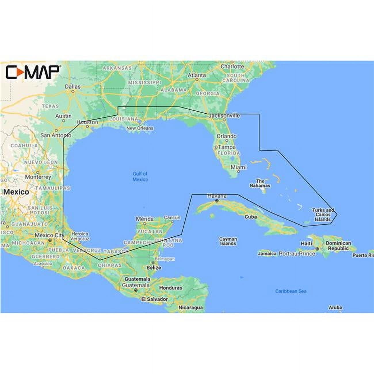








Features & Benefits
- Get a lifelike 3D representation of land and underwater elevation
- Accurate, up-to-date vector chart detail from official Hydrographic Office information
- Identify shallow areas, drop-offs, ledges, holes or humps
- Set safety depth, paper-like view, or create custom shading
- Traditional chart look and feel, easy access to all objects on the chart
- Plot shortest, safest route automatically based on detailed chart data